Here is a summary of some of the projects we have worked on over the past 40 years.

Above: Dense thicket of staghorn Acropora coral near Mackay.
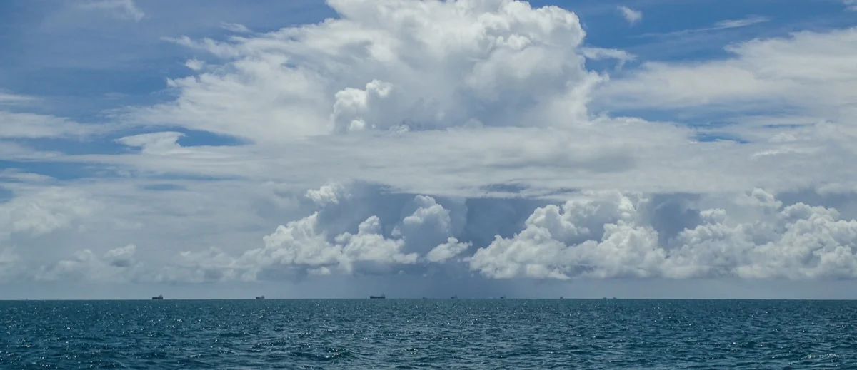
Top Banner: Bulk carriers waiting to load coal at Hay Point beneath wet season thunderstorms.
Major Projects
Responsibility for planning and implementing survey work for New Zealand's first marine reserve at Goat Island, Leigh, including sub-tidal habitat maps, baseline biological surveys of fishes and other organisms and zoning plans. 1976-1979.
Surveys of fishes and corals for zoning requirements on over 200 reefs in the Far-North, Cairns, Central, Capricorn and Capricornia Sections of the GBR Marine Park. 1980-1986.
Biological survey of Coral Sea National Nature Reserves for satellite ground-truthing. 1984.
Development of survey methodologies for corals and other encrusting organisms, invertebrates (including crown-of-thorns sea stars and giant clams) and reef fishes. 1975-1995.
Development of broad-scale sampling plans to analyse regional and temporal patterns of abundance in commercially exploited species of reef fish. 1980-1995.
Fish and coral surveys of Ningaloo Reef National Park in Western Australia. 1987.
Marine resource surveys of the major islands in Vanuatu. 1988.
Monitoring of fish and coral populations before, during and after a temporary replenishment closure of Bramble Reef in the GBR Marine Park. 1991-1998.
Coral and fish surveys on fringing reefs in the Cairns Section of the GBR Marine Park. 1984-2017.
Surveys of marine communities in the Cape Flattery Silica Mine Port Area, including reefs, benthic biota, shore biota and seagrass meadows. 1996.
Surveys of fringing reef value and fish populations in the Shoalwater Bay area. 1997-2000.
Responsible for organising and implementing underwater visual fish counts for the ten-year CRC Effects of Line Fishing Program on 24 reefs in the GBR Marine Park: 1995-2005.
Assessment of marine communities in the vicinity of a proposed treated effluent outfall in Darwin Harbour. 2006-2008.
Comparison of different coral survey methods on fringing reefs around Magnetic Island. 1998.
Monitoring programs to determine the effects of tourist destination pontoons on coral and fish communities on Norman, Arlington, Moore, Hardy and Lady Musgrave Reefs. 1987-2005.
Baseline surveys of coral and fish communities in Port Moresby Harbour, PNG. 1982.
Long-term survey of Cape Tribulation fringing reefs in Far-North Queensland to detect effects of sediment run-off from road construction. 1984-2005.
Surveys at Thetford, Arlington, Hook, Hastings, Knuckle and Hardy Reefs for proposed major tourist projects. 1985-2005.
Surveys of marine habitats, including rock reefs and seagrass meadows, for evaluation of oil-spill sensitivity, Spencer Gulf, South Australia. 1984.
Development of Environmental Monitoring Program requirements for the Port Hinchenbrook Development, Oyster Point, Cardwell. 2003.
Monitoring of impacts on fringing reefs from Townsville Port channel dredging and Nelly Harbour dredging, Magnetic Island. 1987-1998.
Long-term monitoring of a variety of GBR fringing reefs to look at possible human impacts. 1985-2017.
Monitoring of the effects of capital and maintenance dredging on fringing reefs in the vicinity of the Port of Hay Point coal terminals and Port of Mackay. 2004-2013.
Ambient monitoring of fringing reef abundance, diversity and health in the vicinity of the Port of Hay Point and Port of Abbott Point. 2014-2020.
Monitoring the effect of dredging on Darwin Harbour fringing reef communities. 2006-2007.
Monitoring of seagrass meadows in the vicinity of the Port of Airlie marina development. 2008-2010.
Monitoring of coral reef and other benthic communities in the vicinity of port developments on the Pilbara coast of Western Australia.
Assessment of reef communities and fish biomass on Timor-Leste fringing reefs. 2008-2018.

Above: A variety of coral species on a fringing coral reef at Keswick Island, offshore from Mackay.